The model GeoTOP provides a detailed three-dimensional view of the subsurface in the Netherlands until a maximum depth of 50 metres below NAP (Dutch Ordnance Level). GeoTOP schematises onshore Netherlands in millions of voxels (cells), each measuring 100 by 100 metres horizontally and 50 centimetres vertically. Each voxel in the model contains information on the lithostratigraphy and lithological classes, including the probability of occurrence for each lithological class. More info.
Presented models are demo samples of the GeoTOP version 1.6 (2023) created by TNO - Geological Survey of the Netherlands. Please check the DINOloket-website for the latest version of the model. Eventually, all GeoTOP model parts can be visualized in Geo3D.
These voxel 3D models, visualized in Geo3D viewer, can be colored based on discrete properties of lithology and lithostratigraphy, as well as continuous parameters like lithology probabilities, model uncertainty, and elevation. The model can be sliced in XYZ planes and explored by dragging layers up and down. You can pick properties of the model by clicking on a selected cell, and the information will be displayed in the lower left corner.
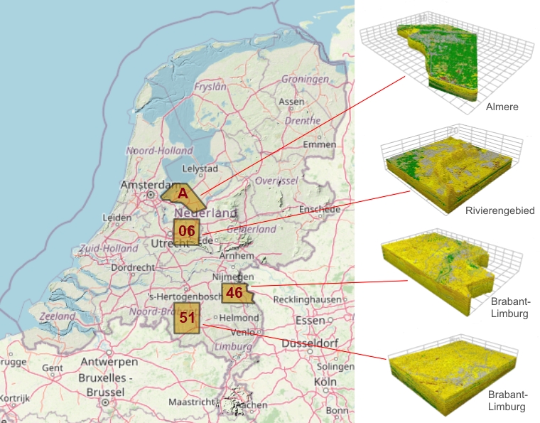
Browse samples of GeoTOP model blocks in Geo3D viewer from following links or click the model on the map below:
Almere (A), 37x24 km, area 460 km2, 4.1 mln voxels
Rivierengebied (06), 20x20 km, area 406 km2, 4.7 mln voxels
Brabant-Limburg (46), 26x17 km, area 375 km2, 4.8 mln voxels
Brabant-Limburg (51), 20x25 km, area 496 km2, 6.8 mln voxels